European Space Agency selects Harmony mission for climate change and extreme weather research
The European Space Agency (ESA) has chosen the Harmony research mission for implementation, which will provide a wealth of new data about our oceans, ice, earthquakes and volcanoes.
Harmony will be the tenth Earth Explorer mission within the ESA’s FutureEO programme, and is set to help us better understand extreme weather drivers and long-term climate change impacts.
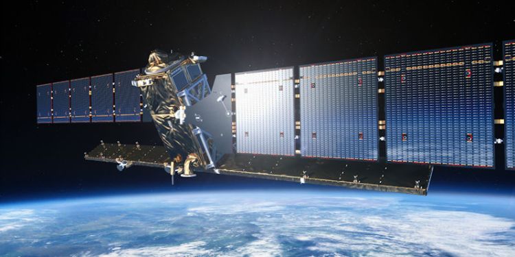
The mission will comprise of two identical satellites orbiting the Earth in convoy with a Copernicus Sentinel-1 satellite. Each Harmony satellite will have a receive-only synthetic aperture radar and a multiview thermal-infared instrument.
Aided by observations from Sentinel-1, Harmony will produce a wide range of unique high-resolution observations of motion occurring at or near Earth’s surface.
Harmony will advance our knowledge in multiple fields and provide a wealth of data that will help us to better understand extreme weather drivers, climate long-term impacts and sea-level rise.
Harmony’s Lead Investigator, Paco López-Dekker, from the Delft University of Technology in the Netherlands, said Harmony will advance aid research into weather patterns, sea-level rise, the motion of mountain glaciers and land shifts related to earthquakes and volcanic activity.
In the ESA announcement, he said: “Harmony will, for example, be used to quantify the processes that govern the exchange of momentum, heat and moisture between the ocean surface and the air above. These exchanges influence processes in the lower atmosphere, drive weather patterns, and affect our climate.
“It will also be used to study deformation and flow dynamics at the rapidly changing ice-sheet edges for a better understanding of sea-level rise.
“In addition, Harmony will observe the motion of mountain glaciers, which are essential in providing freshwater to hundreds of millions of people, so the importance of understanding how they are changing cannot be overstated.
“And, Harmony will be used to measure small shifts in the shape of the land surface such as those related to earthquakes and volcanic activity, and therefore contribute to risk monitoring.”
New data for volcanoes and earthquakes
University of Leeds’ Professor Andrew Hooper, from the School of Earth and Environment, has been advising ESA for the last four years about the scientific requirement of Harmony for tectonics and volcanoes.
Professor Hooper’s latest research project, DEEPVOLC, will help to forecast activity at volcanoes by applying advances in artificial intelligence to satellite data.
He said: “Unusually for a satellite mission, Harmony will advance our knowledge in multiple fields and provide a wealth of data that will help us to better understand extreme weather drivers, climate long-term impacts and sea-level rise, amongst others. I have been involved as it will also provide new kinds of measurements that will enable us to better constrain hazards related to earthquakes and volcanoes.”
Solving the problems of tomorrow
The ESA’s FutureEO programme works with data scientists to better understand our planet and solve the future challenges.
Earth Explorer missions use novel observing techniques that lead to new scientific findings about Earth – and address questions around climate change, resources, energy, public health and more.
Harmony’s mission design will now be fine tuned before the subsequent build, with an aim to launch the satellites in 2029.
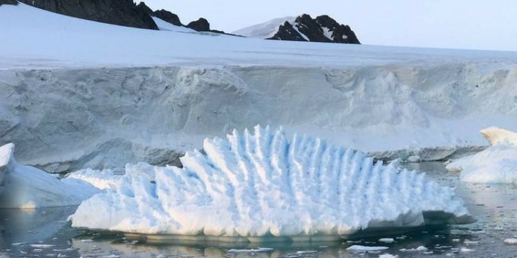
Images: Sentinel 1 (European Space Agency, 2021) and unusual iceberg at Rothera Research Station, Antarctic Peninsula (Professor Andrew Shepherd)


