The dangers of invisible particulate pollution
Atmospheric scientist Dr Jim McQuaid has woken up to a stark reminder of why his work is so important.
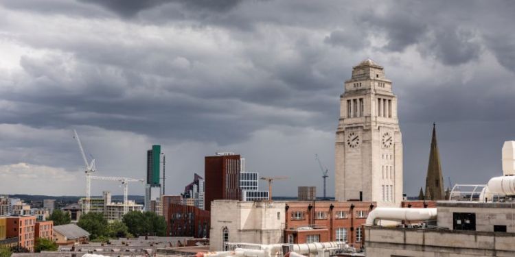
From a window, he can see a layer of fine dust covering his car. The dust has come from the Sahara Desert, lifted by winds and carried by air currents in the atmosphere to be deposited over Yorkshire.
With a dirty-orange hue, the sand can at least be seen. Many of the tiny particles that are carried in the air cause significant risks to human health but are not visible to the naked eye.
Dr McQuaid, an Associate Professor in the School of Earth and Environment, is at the forefront of research into how information about these tiny particulates can be monitored, to better understand how they are affecting people, and to help design interventions to protect public health.
He is developing networks of low-cost sensors that can measure particulate levels. As with other areas of science, digital technology is transforming the way researchers can collect data.
In the past, measuring particulate matter in the air involved using high-end and expensive sensors fitted to the outside of aircraft. But Dr McQuaid and his colleagues are using devices that can fit in the palm of the hand and are used at street level, costing around £250.
Particulate pollution
The devices measure what is known as PM2.5, tiny particles that are less than two and a half microns in width, roughly one ten-thousandth of an inch. The sources of PM2.5 are many and varied and include emissions from vehicles – not just exhausts. There is increasing concern over tyre particles; smoke particles from wildfires, such as the blazes seen earlier in the year in Canada and across southern Europe; and also from industrial processes.
The scientists describe the particles as a “toxic cocktail” of substances.
Particles can travel deep into the bronchial tubes in the lungs and cause breathing and heart problems.
Given the scale of the health threat that PM2.5 pose, the World Health Organisation (WHO) in 2021 described air pollution as “one of the biggest environmental threats to human health” and issued new air quality guidelines.
Dr McQuaid said: “There is a huge challenge facing humanity.
The WHO recently estimated over 99% of the global population lives in locations where air pollution exceeds the new guideline levels.
“Tackling the problem is complex because particulate pollution, as in the case of the Saharan dust, travels across national boundaries.”
The University is involved in several projects that demonstrate how low-cost air-monitoring networks can help communities manage the risks they face.
Low-cost air sensors across Leeds
Dr McQuaid, in partnership with Leeds City Council and with funding from Research England, is developing a hyperlocal air quality mapping system, allowing people in Leeds to see air quality at very local levels based on the readings from low-cost sensors around the district.
The network uses the PurpleAir.com web platform to show levels of PM2.5 pollution across the city, with traffic light colour coding alerting people to the level of risk they might face.
Dr McQuaid, who advises Leeds’ air-quality and health board, said: “The map shows in real-time the distribution of PM2.5 pollution. It might show some areas' levels of particulate pollution linked to wood burners. In other districts, you might find people are still burning coal fires.
“It also shows that you do not need to go deep into the Yorkshire Dales to breathe clean air. The levels around Roundhay Park can be very low, presenting little risk with 24-hour exposure.
“But these particulate levels can go up and down because a great deal of the time, it is the pollution that is transported into Leeds by airflow that causes the major problems and not local pollution.”
One of the initiatives Dr McQuaid is working on is to map GP referrals against data on particulate pollution levels. A recent study showed that people in Bradford made more GP and A&E visits for breathing problems after high-pollution days.
“With a network in place, you can set up an early warning system,” added Dr McQuaid. “The Government recently pinged a test text message to people’s mobile phones. The council in Leeds has a similar system, which could be used to warn people, such as those suffering from asthma, that deteriorating air quality could make their health worse, and advise them to stay indoors.”
Bradford’s Clean Air Zone
The first clean-air zone in the North of England was introduced in Bradford in November 2022, to reduce vehicle emissions in the city centre by levying a charge on “dirty”, or high-emissions, vehicles brought into the zone.
Low-cost sensors inside the Bradford Clean Air Zone and in surrounding neighbourhoods will be used to evaluate their effectiveness to see if levels of nitrogen dioxide and PM2.5 particles are dropping.
Natural events
As the wildfires in Canada recently demonstrated, natural events can generate particulate pollution affecting populations living hundreds of miles away. A news article in the BMJ medical journal said smoke from 200 fires in the Quebec area in early June was “making breathing dangerous for about 100 million people in the midwestern states of the US and a 1000-mile stretch of the US east coast”.
Some of those natural events can have long-term consequences. In 1995, a volcano on the Caribbean Island of Montserrat erupted. Almost 30 years on, hundreds of tonnes of sulphur dioxide still vent from the volcano every day.
As part of the PhD research of Rosie Lewis of the Institute of Geophysics and Tectonics in the School of Earth and Environment, Dr McQuaid is involved in a two-year project that will use low-cost sensors to track PM2.5 and sulphur dioxide pollution levels affecting communities on the island.
And later in the summer, he travels to Indonesia to investigate the impact of the annual peatland burning season on the local population. In July this year, the World Meteorological Organization declared the onset of El Niño conditions, a component of the global weather system.
In El Niño years the western Pacific experiences exceptionally dryer conditions. This drives an increase in the intensity of the burning and forest fires as the water table drops and the peatlands dry out more than usual.
During the last El Niño in 2015, Indonesia, Singapore and Malaysia choked under a thick haze of wildfire smoke caused by the annual burning of land to produce pulp, paper and palm oil. The smoke closed schools, disrupted transport, including the closure of some airports, and half a million cases of acute respiratory infection were recorded between July and December.
Dr McQuaid will be involved in using an array of both static PM2.5 sensors and portable sensors that can be carried throughout the day to look at the air-quality conditions in central Kalimantan and how poor air quality impacts different socio-economic groups.
The study will continue until the start of the wet season towards the end of the year.
For Dr McQuaid, the adoption of low-cost air sensors is taking air quality data out of the laboratory and making it available to communities and citizen scientists to act on - to see the risks they face and to help them design measures to protect their health.


