Satellites reveal speed-up of Antarctic glaciers
Glaciers along the Antarctic peninsula are flowing faster in the summer because of a combination of melting snow and warmer ocean waters, say researchers.
On average, the glaciers - giant blocks of moving ice - travel at around 1km a year. But a new study has found a seasonal variation to the speed of the ice flow, which increases by up to 22% in summer when temperatures are warmer.
The study, published in the journal ‘Nature Geoscience’, gives an insight into the way climate change could affect the behaviour of glaciers and the role they play in raising sea levels.
Up to now, study of the rugged Antarctic peninsula has been limited because of the difficulties scientists face getting on to the glaciers to conduct fieldwork. But from space, advances in satellite technology are revealing new insights into the speed at which the glaciers are moving and draining water into the surrounding ocean.
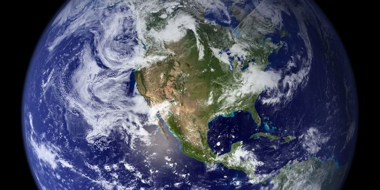
Antarctic peninsula – and global sea levels
The Antarctic Ice Sheet is the largest reservoir of frozen water on Earth. It is estimated that between 1992 and 2017, meltwater from the glaciers increased global sea levels by around 7.6mm. How that may change in the future is one of the big uncertainties in modelling climate change.
A team of researchers, led by scientists at the University of Leeds, has used more than 10,000 satellite images, taken above the Antarctic Peninsula between 2014 and 2021, to understand how the flow of glaciers into the waters around the Antarctic alters during colder and warmer periods.
Ben Wallis, a doctoral researcher in the School of Earth and Environment at Leeds and first author of the study, said: “One of the important findings of this study is that it reveals how sensitive glaciers in Antarctica are to the environment. We have known for a long time that glaciers in Greenland have a seasonal behaviour, but it is only now that satellite data has shown similar behaviour in Antarctica.”
The authors of the paper – Widespread seasonal speed-up of west Antarctic Peninsula glaciers from 2014-2021 – are Ben Wallis, Dr Anna Hogg and Dr Ben Davison, all from the University of Leeds; and Jan Melchior van Wessem and Michiel van den Broeke, from the Institute for Marine and Atmospheric Research, Utrecht.
Earth observation from space
The European Space Agency and European Commission Copernicus Sentinel-1 satellite, whose data was used in this study, provides weekly monitoring around the whole coastline of Antarctica.
The satellite is fitted with synthetic aperture radar which can “see” through clouds, enabling measurements of the glaciers to be taken both day and night.
Craig Donlon of the European Space Agency said: “This study highlights how high-resolution satellite images can help us monitor how the environment is changing in remote regions. Future satellites, such as the family of Copernicus Sentinel expansion missions, promise to bring enhanced continuity and capabilities that will spearhead further insight into the characteristics and processes governing ice mass balance and sea-level rise.”


