New satellite-aided research explored at European Space Agency Conference
The University of Leeds hosted the European Space Agency’s 12th International Workshop on “Advances in the Science and Applications of SAR Interferometry and Sentinel-1 InSAR”.
The conference ran between the 11th and 15th of September 2023. SAR stands for synthetic aperture radar, which has many applications in environmental research.
Among the scientific committee and the presenters from the University of Leeds was Professor Andy Hooper from the School of Earth and Environment.
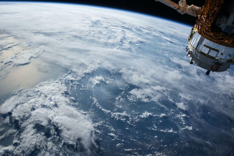
Andy has worked with the European Space Agency (ESA) as a mission advisor on two projects with satellite constellations. One of these is Sentinel-1 Next Generation, which was first launched in 2014.
Another is called Harmony, which the ESA has selected as its Earth Explorer Flagship Mission. Harmony’s radar satellites will allow researchers to explore new information about earthquakes, volcanoes, oceans and ice, to contribute to climate and geohazard research.
The new technology will measure land from north to south for the first time, as well as east to west.
This will have a significant impact on researchers’ ability to measure how the continents deform tectonically and to constrain earthquake hazards.
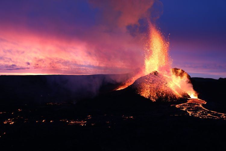
Forecasting volcanic activity
Radar satellites have a central role in Andy’s current research that he presented at the ESA Fringe Conference alongside his colleagues.
The project, titled DEEPVOLC, uses radar satellites to measure changes in the earth surrounding and underneath volcanoes. The team’s objective is to forecast future volcanic activity.
There are three main ways that volcano activity can be predicted: ground deformation, gas measurements and earthquakes or tremors.
For example, satellites can observe magma moving underneath volcanoes and bulging under the surface of the ground.
The research team will gather data about volcanoes around the world and will use machine learning to forecast the outcomes for active volcanoes based on previous and modelled volcanic events.
They will work with volcano observatories and civil authorities to spread their data and information and aid preparation for impactful events.
The team is in the data processing stage and is beginning to produce models of volcano activity to analyse.
They are also creating forecasting algorithms that will use the collected data to complete future predictions.
SatSense
Andy is the co-founder and director of the organisation SatSense, which was a sponsor of the conference.
SatSense is a commercial company that offers software that can assess, monitor and alert people of ground movement and related risks.
As Andy explains, commercialising this technology can drive innovation for it. Some of their projects include working with infrastructure, transport networks, water utilities and properties, showing the range of applications for satellite mapping.


