News
Prestigious sedimentology award for Prof Hodgson
Professor David Hodgson has been awarded the British Sedimentological Research Group (BSRG) Perce Allen Award.
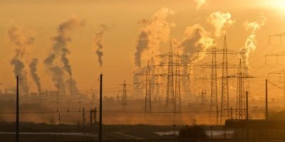
Climate change could take us back 50 million years
A recently published paper shows that humans are reversing a long-term cooling trend, which traces back at least 50 million years. And it’s taken just two centuries.
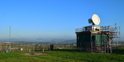
Mobile X-band weather radar deployed in Cumbria to improve regional flood forecasting
Three scientists from the School of Earth and Environment are part of a team aiming to improve flood forecasting in Cumbria.

Double awards for Leeds climate researcher
Priestley Centre researcher Dr Amanda Maycock has received two prestigious awards for her work on Earth’s climate.

Leeds to lead PhD training centre in environmental science
The University of Leeds is leading a new PhD training centre called Panorama, which has just received funding from NERC for five annual admissions starting in 2019.